
Surveying Applications: Precision Measurement Tools
Boundary Surveys
USA utilizes the latest technology and advanced surveying tools to measure and accurately determine the boundaries of your property. Our land surveying applications provide a plat of survey, which is often required for real estate closings, construction permits, or other legal purposes, ensuring precision measurement for all your needs.
Topographic Surveys
Topographic surveys provide accurate and detailed information about the contours and features of your property, making them invaluable for various land surveying applications. This precision measurement is essential for construction, engineering, and land development projects. Topographic surveys are the crucial first step in any development project, utilizing advanced surveying tools to ensure accuracy.
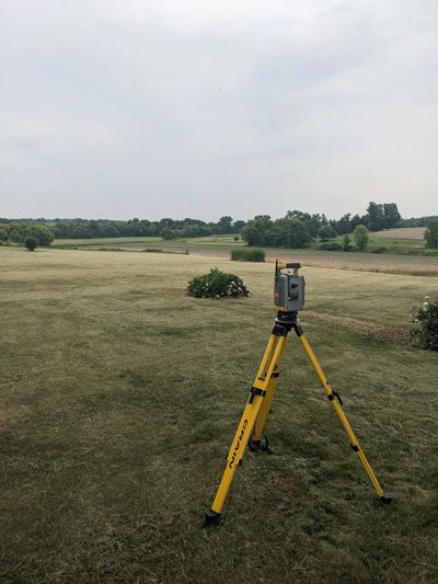
Construction Staking
USA ensures that your project is built to the correct specifications and within the boundaries of your property. We work closely with contractors and engineers, utilizing advanced surveying tools to provide accurate and reliable staking services. Additionally, USA offers as-built and spot surveys, crucial land surveying applications often required during the building permit process, ensuring precision measurement throughout.
ALTA/NSPS Land Title Surveys
ALTA surveys are often required for commercial real estate transactions and utilize advanced land surveying applications to provide a thorough analysis of boundary lines, easements, encroachments, and other important information, ensuring precision measurement with the latest surveying tools.
GIS and Mapping Services
USA offers a diverse range of mapping and GIS services, including land surveying applications, field data collection, precision measurement, database management, and the creation of exhibits using advanced surveying tools.
FEMA Elevation Certificates
USA provides FEMA elevation certificates through precise land surveying applications that determine the elevation of your property, which can be used to set flood insurance rates. Utilizing advanced surveying tools ensures accurate precision measurement for this essential process.
Expert Testimony
USA provides expert testimony in legal proceedings related to land surveying applications, boundary disputes, and real estate transactions. With our extensive knowledge of precision measurement and the latest surveying tools, we can offer valuable insights and analysis.